Surabaya City Planning Lab
City Planning Lab Initiative in Surabaya
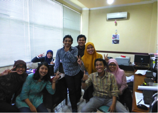
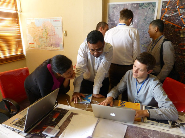
The City Form Lab worked with the City of Surabaya, World Bank and Hansen Partnership to organize and facilitate a successful, high energy interactive workshop engaging city officials, professional planning practitioners, and academics to work together toward planning a tramway for Surabaya in February 2014. The workshop invited Surabaya government officials and academics to envision a transport oriented redevelopment corridor around the proposed north-south tramway in central Surabaya.
The corridor design process was continued with the presentation of a more detailed report including a series of urban design, planning, policy and investment proposals for the corridor and five key sub-areas, with an accompanying action plan focused on the short, medium and long-term implementation.
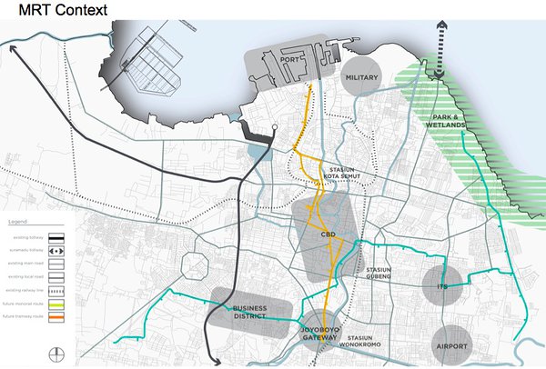
The City Form Lab was invited by the World Bank and the City of Surabaya to produce a concept plan for the districts surrounding the future MRT line in downtown Surabaya, Indonesia. We produced a development framework for the north-south corridor through the city centre outlining a series of design, planning and policy initiatives that aim to turn the corridor into a transit oriented and pedestrian centric district that will serve the long-term needs of the city. The work was done in a collaboration with Hansen Partnership from Melbourne, Australia.
Collaborative work with the City, World Bank, City Form Lab, and Hansen Partnership continued to support the development of a detailed, viable land-use and zoning vision for central Surabaya and integrate Transportation and Pedestrian Oriented Development (ToD and PoD) for the tramway with the Surabaya 20 year Masterplan. The Surabaya Engagement, Corridor Report and associated CPL work helped to mobilize a USD $300M Surabaya Urban Corridor Development Program loan with the City. Additionally, the CPL engagement in Surabaya has helped increase awareness of ways geospatial information can support strategic city planning and to open up communication and data sharing across departments in Surabaya.
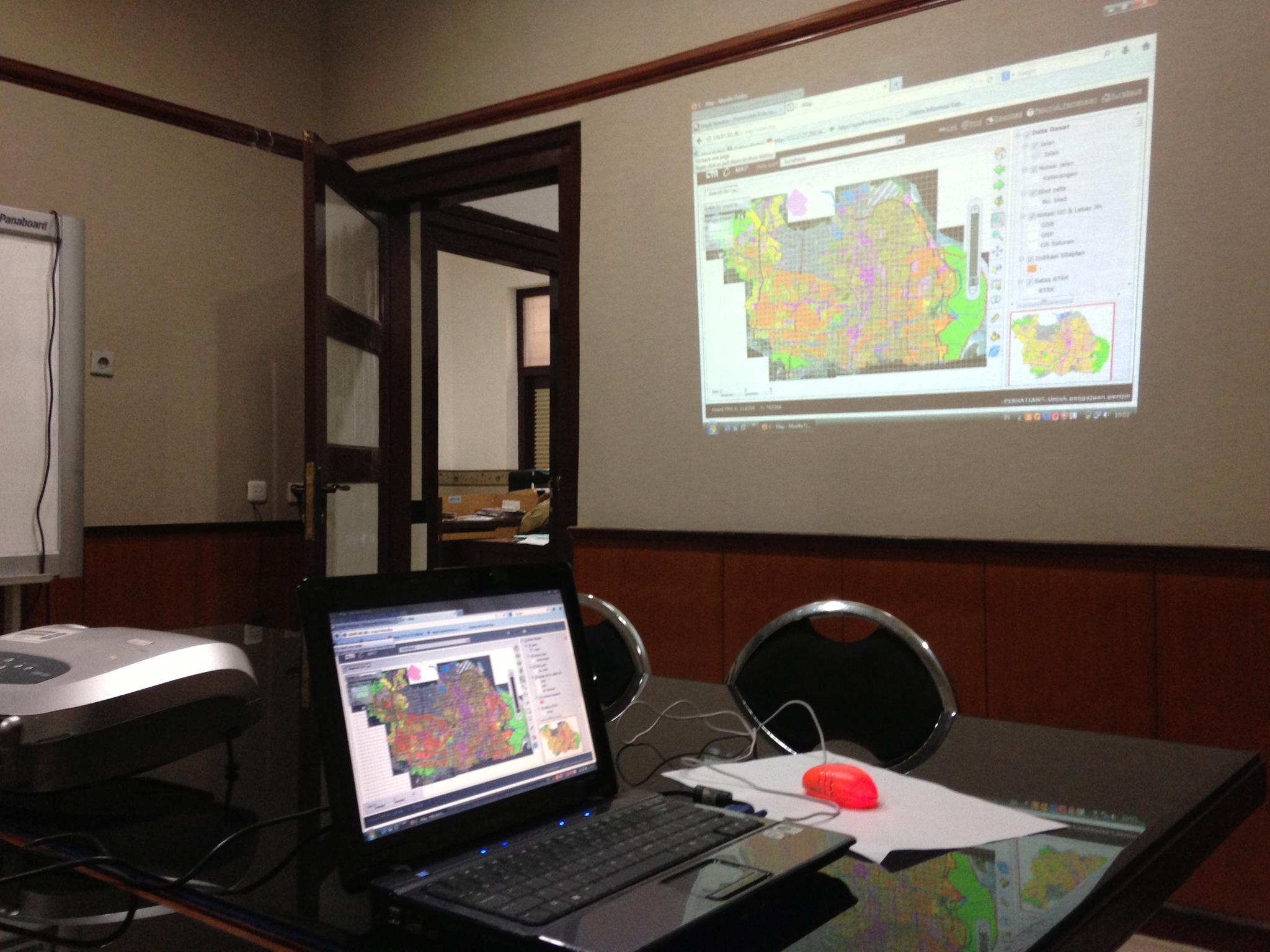
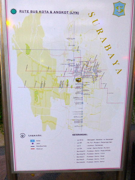
Surabaya is helping set an example of creating and using data in city planning and hosting online systems to provide free public access to information. The consultants learned about existing data in the departments of CKTR, Bappeko, DISPENDA, BLH, and PU and gave suggestions about existing online systems, such as C-Map, which makes the Surabaya spatial plan publicly accessible and is incorporated into the city's building permit workflow, and Suramap, which was being developed to make data and maps available online to aid in discussion for the community participation process called Musrembang. These types of systems are considered innovative in Indonesia for their provision of free public information access online, electronic integration with official workflows, and demonstrated Surabaya’s willingness to help lead the way toward more open governance.


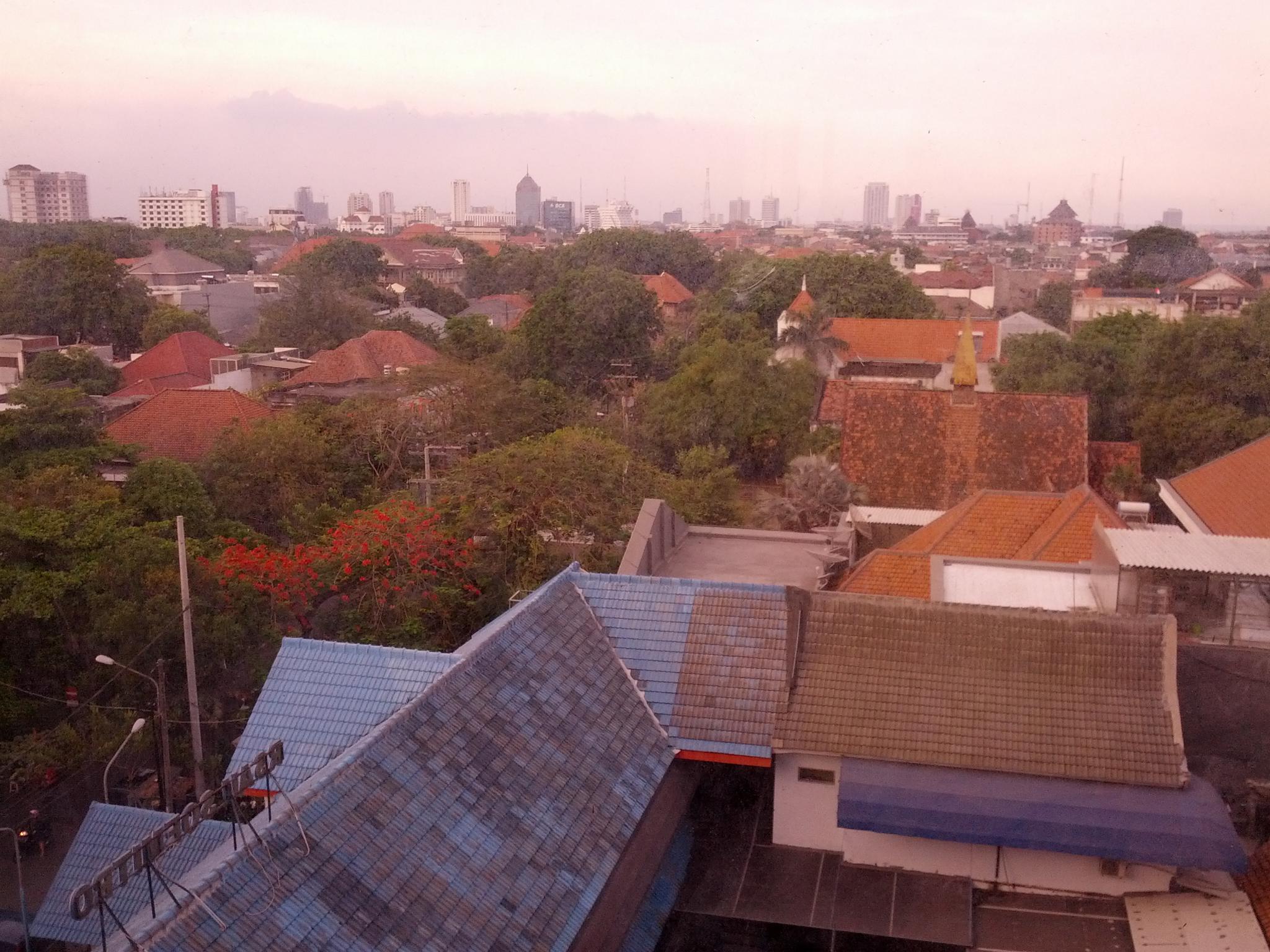
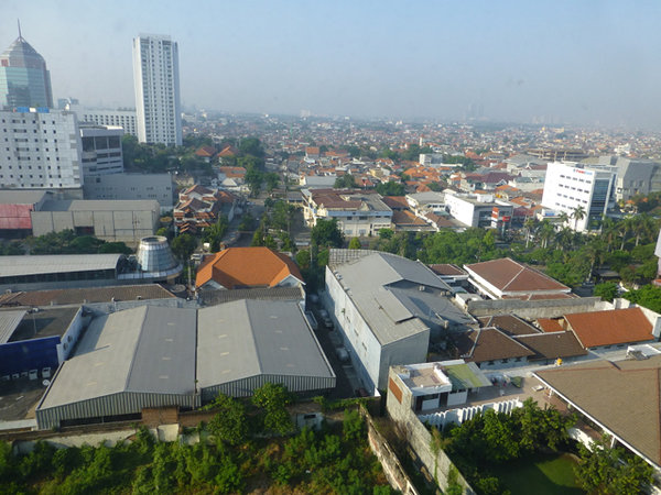
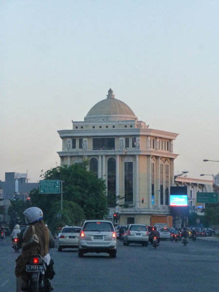
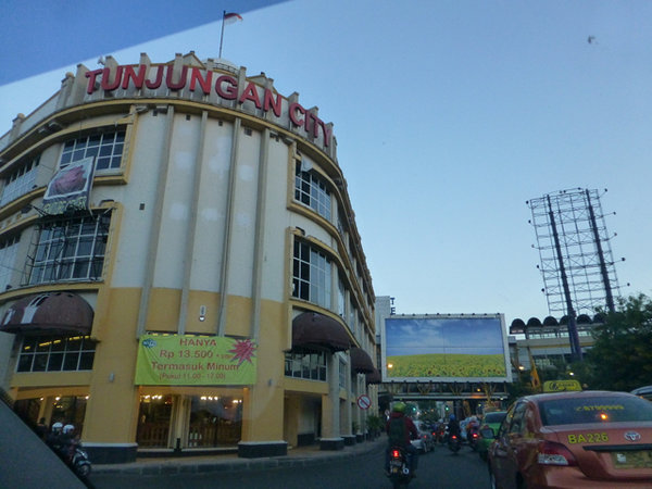
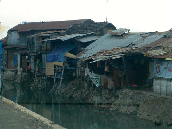
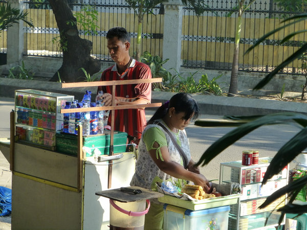
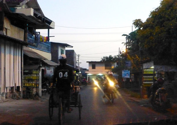
About Surabaya
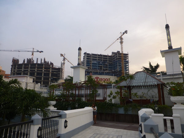
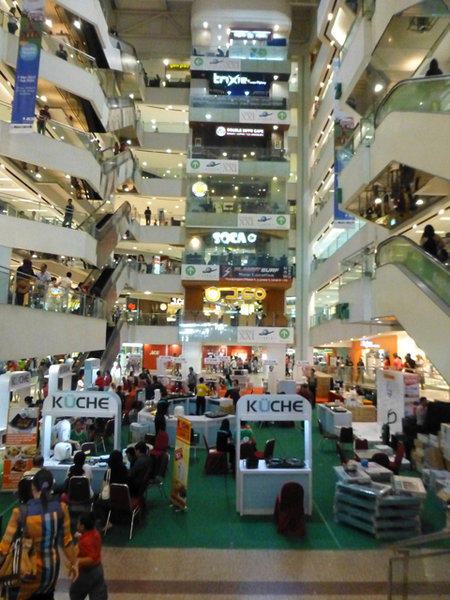
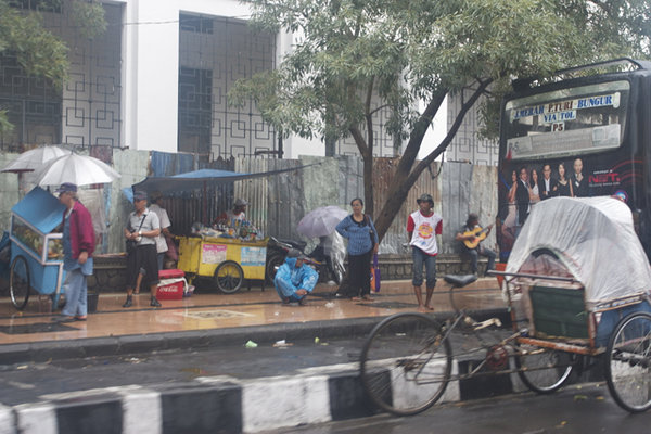
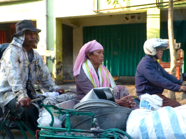
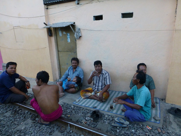
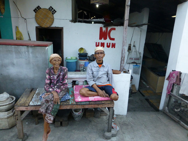
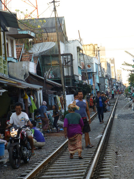
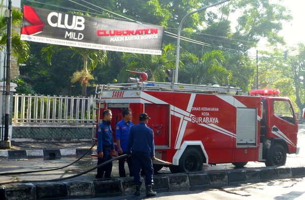
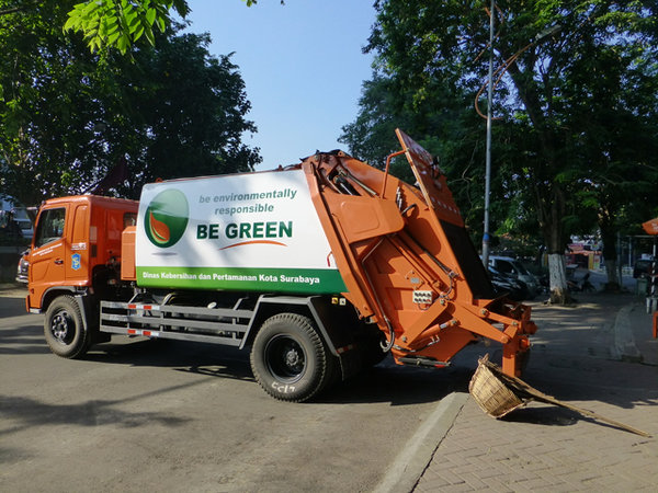
Surabaya is the second largest city in Indonesia, has an estimated total metro population of 9.1 million people, and is capital of East Java Province. The average population growth rate from 2000 to 2010 is 0.63% annually, and average size of household is 3.6 people per household. Its unemployment rate in 2010 was 10%, which was higher than the national average. The city has experience relatively constant economic growth in the last five years and the economy is expected to continue to grow, albeit at slightly lower rate, since Surabaya is struggling to create jobs for the existing work force and immigrants that come into the city.


Acronyms
BAPPEKO : Badan Perencanaan Pembangunan Kota | City planning agencyCKTR : CKTR: Cipta Karya dan Tata Ruang | Settlements and Spatial Planning DepartmentDISPENDA: Dinas Pendapatan | Revenue Services
BLH: Badan lingkungan Hidup | Environment Agency
PU: Pekerjaan Umum | Public Works
Musrenbang : Musyarawah Perencanaan Pembangunan Daerah | Regional development plan deliberation