Venice Architecture Biennale 2025
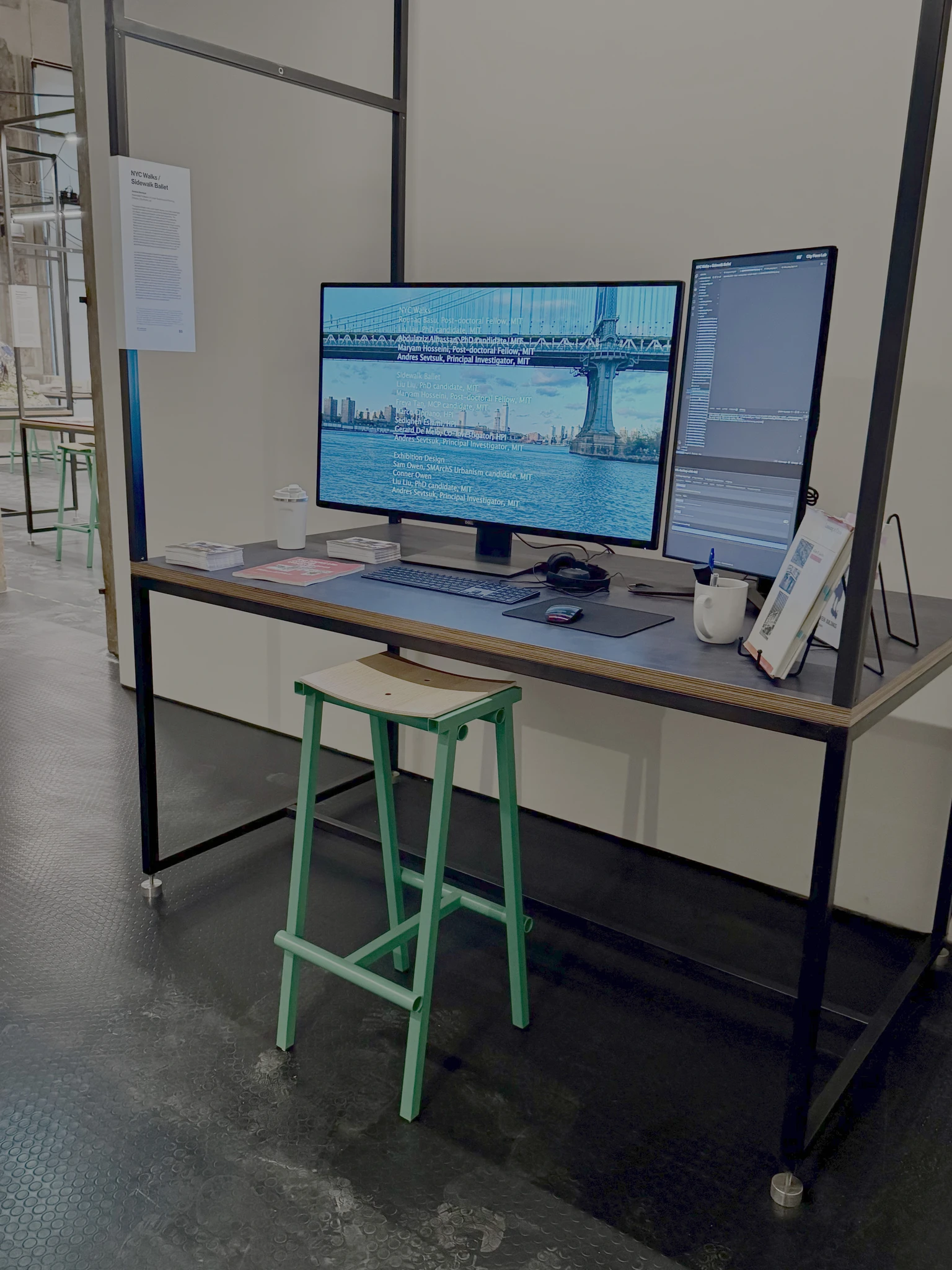
Configured as an actual working desk of a graduate student at MIT, The City Form Lab exhibit at the 2025 Venice Architecture Biennale showcases two ongoing research projects that examine the geography of foot-traffic and social interactions in New York City: NYC Walks and Sidewalk Ballet. The exhibit is part of the MIT Department of Architecture led exhibition The Next Earth: Computation, Crisis, Cosmology at the Palazzo Diedo, the exhibition space of Berggruen Arts & Culture.
NYC Walks
The global climate-change crisis is leading city governments all over the world to re-examine walking as a mode of transport and its relationship to city design and planning. The NYC Walks project explores foot-traffic in New York City, and offers the first-of-its-kind model to estimated pedestrian volumes on all sidewalks, crosswalks, and footpaths throughout the entire city during peak travel periods (e.g weekday and weekend AM, Lunch and PM peak hours). This helps New York City agencies and communities understand which sidewalks and crossings are most critical for day-to-day use of the city, and guide pedestrian infrastructure investments to places where they impact most constituents. The model also helps city planners predict how newly proposed developments will impact walking activity, desirably increasing pedestrian mode share project-by-project over time.
Sidewalk BalletHowever, walking is not only important as a mode of transportation. The related Sidewalk Ballet project, a collaboration between the MIT City Form Lab and the Artificial Intelligence and Intelligent Systems Group at the Hasso Platner Institute in Germany, explores social interactions on city sidewalks using advanced computer vision and large language models to detect and map social activities where people do something together: talking, eating, walking together, playing etc. The model, which is trained on over a hundred thousand human-annotated images to detect social groups, is then applied across millions of street-view images collected during peak travel periods in the city (e.g weekday and weekend AM, Lunch and PM peak hours) to map the location, amount, and type of social activities on city sidewalks and public spaces.
Mapping social interactions on all sidewalks city-wide opens up fascinating urban sociological questions. Why do some streets and public spaces attract more social interactions than others? How does the spatial context around a street affects the social interactions that take place there? What role does the design quality of the street itself play, and how do the demographic profiles of people who live, work or visit the area influence the likelihoods of social encounters and interactions on a street?
Visit us at the Palazzo Diedo, the exhibition space of Berggruen Arts & Culture, between May 10th and November 23rd, 2025.